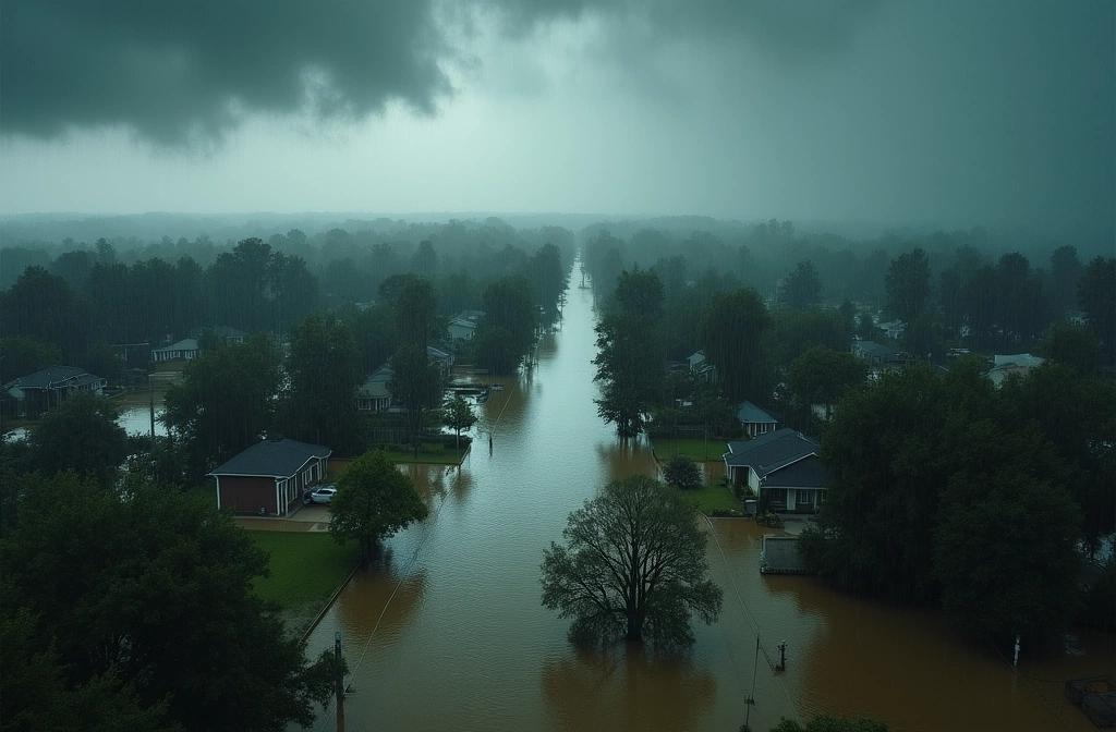
According to reporting on climate and hurricane dynamics, flooding has accounted for more than half of all direct hurricane deaths since 2013. This represents a critical shift in hurricane lethality—away from wind damage and toward water-based hazards.
The data matters because it exposes a preparedness gap. Most public hurricane guidance emphasizes structural wind resistance and shelter-in-place protocols. But if flooding is now the dominant killer, evacuation decisions, early-warning response times, and community infrastructure planning must account for a different threat profile: rapid water rise, storm surge interaction with sea-level rise, and the capacity of drainage systems to handle extreme precipitation events.
Climate change may intensify this trend further. Warmer ocean temperatures can fuel stronger hurricanes, and a warming atmosphere holds more moisture—both factors could amplify rainfall totals and surge heights during future events. However, the exact timeline and severity of this escalation remains dependent on multiple variables not detailed in current reporting.
What distinguishes this signal: the data is historical (2013 onward), not predictive. It shows a pattern that has already emerged and is now entering mainstream analysis. This suggests institutional preparedness frameworks—building codes, evacuation zones, early-warning triggers—may be calibrated for a threat landscape that no longer matches ground truth.
For infrastructure and emergency response systems, the implication is structural: storm drains, pump capacity, bridge elevation, and flood-zone mapping become as critical as wind-rated construction. For individuals, the signal is simpler: understand your actual flood risk (not just wind risk) in your region, know evacuation routes before a storm arrives, and verify your area has up-to-date flood mapping—much of it is outdated.