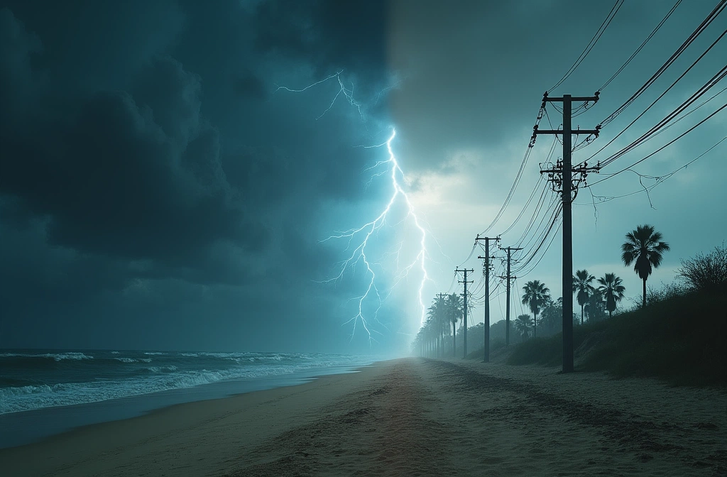
Hurricane Season Preparedness Week launched this week with a critical message: understanding your specific risk is foundational. According to WUFT's coverage, Florida faces a complex hazard profile that includes storm surge, inland flooding, destructive wind, and tornadoes. South Carolina Public Radio reports similar multi-hazard exposure across the state—danger that reaches from coastal counties to inland high country, with recent years demonstrating that tornadoes, inland flooding, and damaging winds are not theoretical concerns but documented threats.
Why this matters now: Most people anchor their hurricane planning to storm surge or wind speed. That tunnel vision creates blind spots. If you're inland or in elevated terrain, storm surge isn't your kill-chain—but inland flooding and tornadoes absolutely are. If you're coastal, wind and surge dominate, but secondary hazards like tornadoes can materialize during the storm's passage.
The geographic scope is also instructive. South Carolina's warning that danger reaches into the high country signals that hurricane-force systems retain destructive capacity well beyond the coast. This means supply chains, utilities, and communication networks across multiple states may be simultaneously stressed—not sequential, but overlapping.
What to watch next: As official National Hurricane Center forecasts roll out (typically issued in early June), pay attention to the cone of uncertainty and specific hazard callouts in public advisories. If early-season storms produce significant inland damage or multiple tornadoes, that suggests atmospheric conditions favor rapid intensification and mesocyclone development—information that should tighten your personal timeline for inventory and response planning. The difference between "expected" hurricane season and a high-activity season often becomes clear in the first 4-6 weeks.