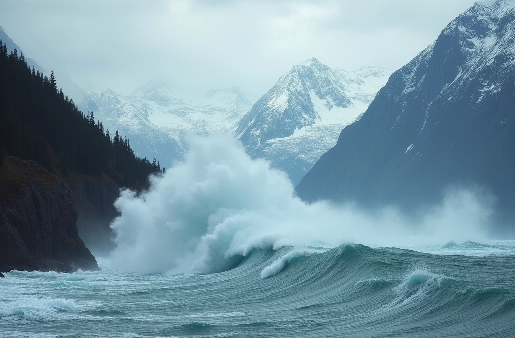
According to the Anchorage Daily News, a recent megatsunami in Tracy Arm achieved a height of 1,580 feet, placing it as the second-highest measured on record. The only larger event was the earthquake-triggered tsunami in Lituya Bay in 1958, which the source identifies as "deadly."
Landslide-generated tsunamis differ critically from seismic events: they strike with less warning infrastructure, move at variable speeds depending on terrain and water depth, and can affect areas with minimal earthquake detection. Tracy Arm's recent event demonstrates that Alaska's glaciated fjords remain active zones of mass movement—a consequence of ongoing glacial recession, permafrost thaw, and steep valley geometry that concentrates gravitational failure.
For preparedness analysis, this matters at multiple scales. First, coastal communities in Southeast Alaska face a hazard profile that traditional seismic warning systems may not fully capture. Landslide tsunamis develop rapidly and locally; evacuation windows may compress to minutes rather than the hours a distant earthquake provides.
Second, the 1,580-foot benchmark is not theoretical noise. Wave heights of that magnitude can inundate coastal infrastructure, disrupt marine transportation corridors, damage fuel storage and power systems along the Inside Passage, and cut communication lines that depend on coastal routing.
Third, this event is embedded in a larger signal: Alaska's climate-driven terrain destabilization is ongoing. Glacial retreat, warming permafrost, and increased precipitation are all factors that geotechnical hazard specialists monitor as multipliers of landslide frequency and magnitude.
Historically, the 1958 Lituya Bay tsunami killed two people and reshaped how Alaska's geological hazards are assessed. The Tracy Arm event—second only to that catastrophe—suggests that similar mechanisms remain active and measurable. What differs is data: we now have instruments capturing these events in real time, enabling better documentation of magnitude, frequency, and regional patterns.
The practical implication: communities dependent on Alaska's coastal and fjord infrastructure should validate their landslide tsunami protocols and communication redundancy, especially systems not anchored to seismic data alone.